
Florida State Forests General Overview and Quick Links
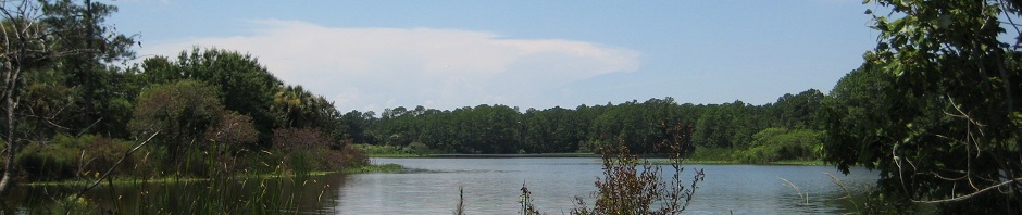
![]() The Florida Forest Service manages numerous state forests located throughout the state; often with the cooporation of other agencies such as the FWC. While there are only a handfull of properties in the southern area of Florida managed by this agency, there are numerous state forests located in the central and northern sections of the state providing abundant recreational opportunities. The interactive map available by following this link will provide you the opportunity to research available recreation in these areas.
The Florida Forest Service manages numerous state forests located throughout the state; often with the cooporation of other agencies such as the FWC. While there are only a handfull of properties in the southern area of Florida managed by this agency, there are numerous state forests located in the central and northern sections of the state providing abundant recreational opportunities. The interactive map available by following this link will provide you the opportunity to research available recreation in these areas.
Additional pages will be added in the future highlighting some of the unique experiences available as research and feedback from our site vistors provides.
By selecting the graphic above, or clicking on the direct links provided below, you will be directed to the Florida State Forests interactive map link, where you will be able to locate more information on the following state forest locations: